Description
NA-M022 => USA East Coast and Bahamas
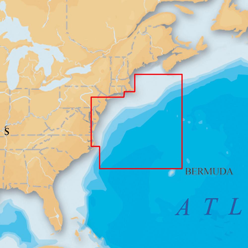
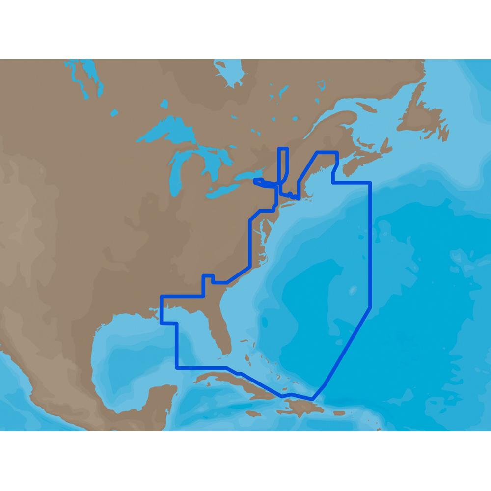
Coverage of the United States Atlantic coast from Passamaquoddy Bay, ME down to Key West, FL, with extended coverage into the Gulf of Mexico over to Perdido Bay, FL. Includes coverage of Bermuda and all of the Bahamas. Also includes coverage of the Hudson River, Lake Champlain, Erie Barge Canal, Savannah River, St John’s River and Okeechobee Waterway. Caribbean coverage includes charts from Explorer Chartbooks and Wavey Line Publising
Manufacturer : C-MAP
Manufacturer Part No : NA-M022C-CARD