Description
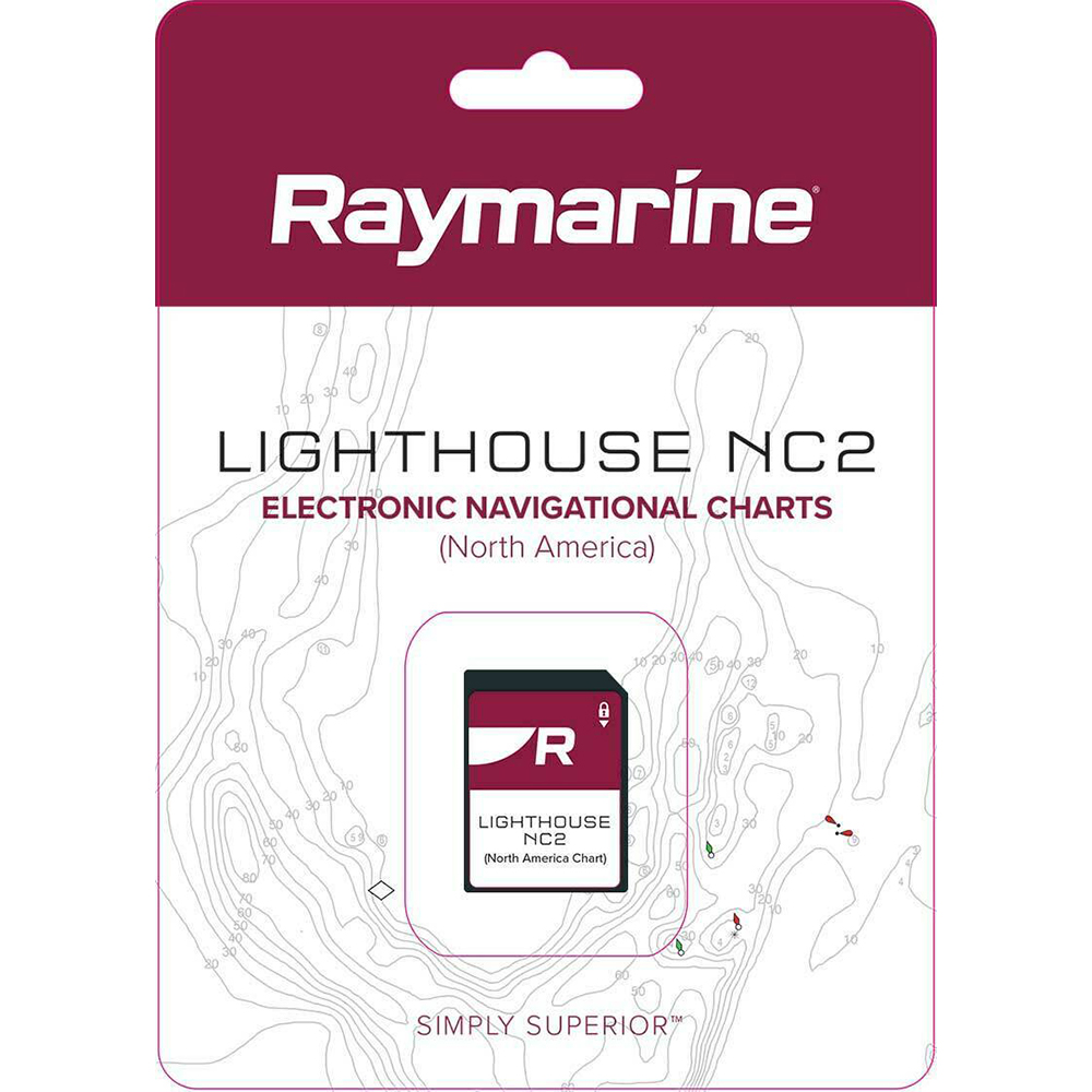
LightHouse NC2 Chart – Electronic Navigational Charts – North America
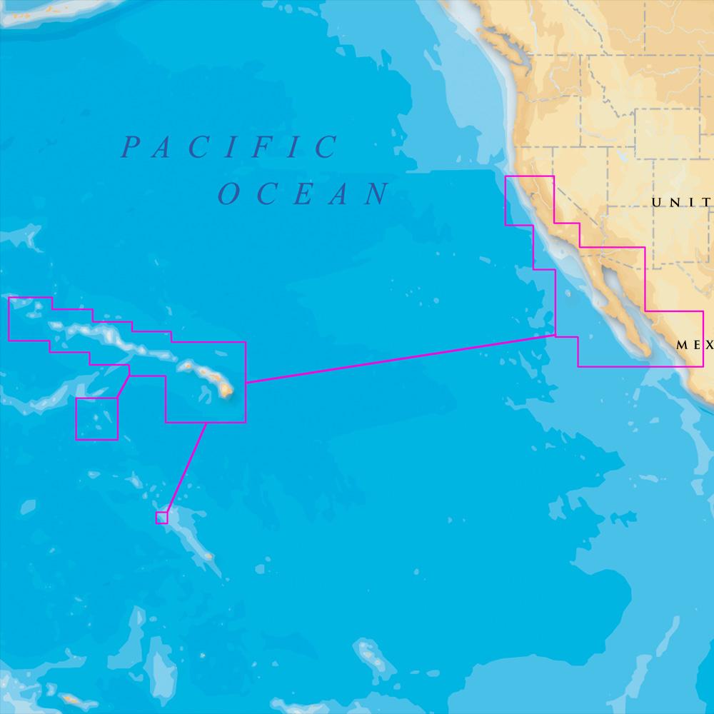
The LightHouse NC2 North America, which contains high-quality vector charts for the continental United States, Alaska, Hawaii, western Caribbean, and the Great Lakes. Not only does it include super-detailed coastal charts, LightHouse NC2 also contains detailed maps of popular lakes, rivers and ponds for freshwater anglers. Inland and coastal waters are filled with valuable local knowledge and fishing tips from the trusted experts at Fishing Hot Spots®.
Coverage Area (North America):
- Contiguous U.S.
- The Great Lakes
- Alaska and Hawaii
- The Bahamas
Manufacturer : Raymarine
Manufacturer Part No : R70740
UPC : 723193768068