Description
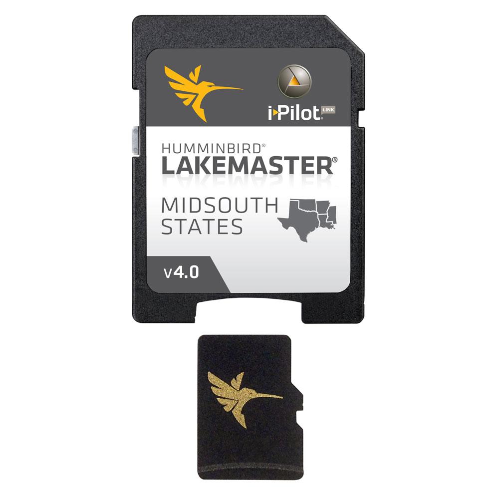
LakeMaster Chart – MidSouth States – Version 4
The Humminbird LakeMaster MidSouth Edition, Version 4 microSD map card has added over 80 new lakes, with 55 additional High Definition waters. This edition now boasts contours for a total of over 360 lakes with more than 250 lake maps in High Definition for Texas, Oklahoma, Arkansas, Louisiana, and Mississippi.
Featuring:
- Complete High Definition survey of Toledo Bend, Texas/Louisiana
- High Definition survey of Conroe, Texas
- High Definition survey of Fork, Texas
- High Definition survey of Texoma, Texas
- High Definition survey of Ray Hubbard, Texas
- High Definition survey of Atkins, Arkansas
Also with the MidSouth Version 4 microSD map card you enjoy all of the LakeMaster features including the following:
- i-Pilot® Link™ compatible
- Easy to read contours
- Depth Highlight Range
- Water Level Offset
- Shallow Water Highlight
- Scrollable Lake List
Product : HUMMINBIRD LAKEMASTER CHART MIDSOUTH STATES 2018
Manufacturer : HUMMINBIRD
Manufacturer Part No : 600009-7
UPC : 082324052439

