Description
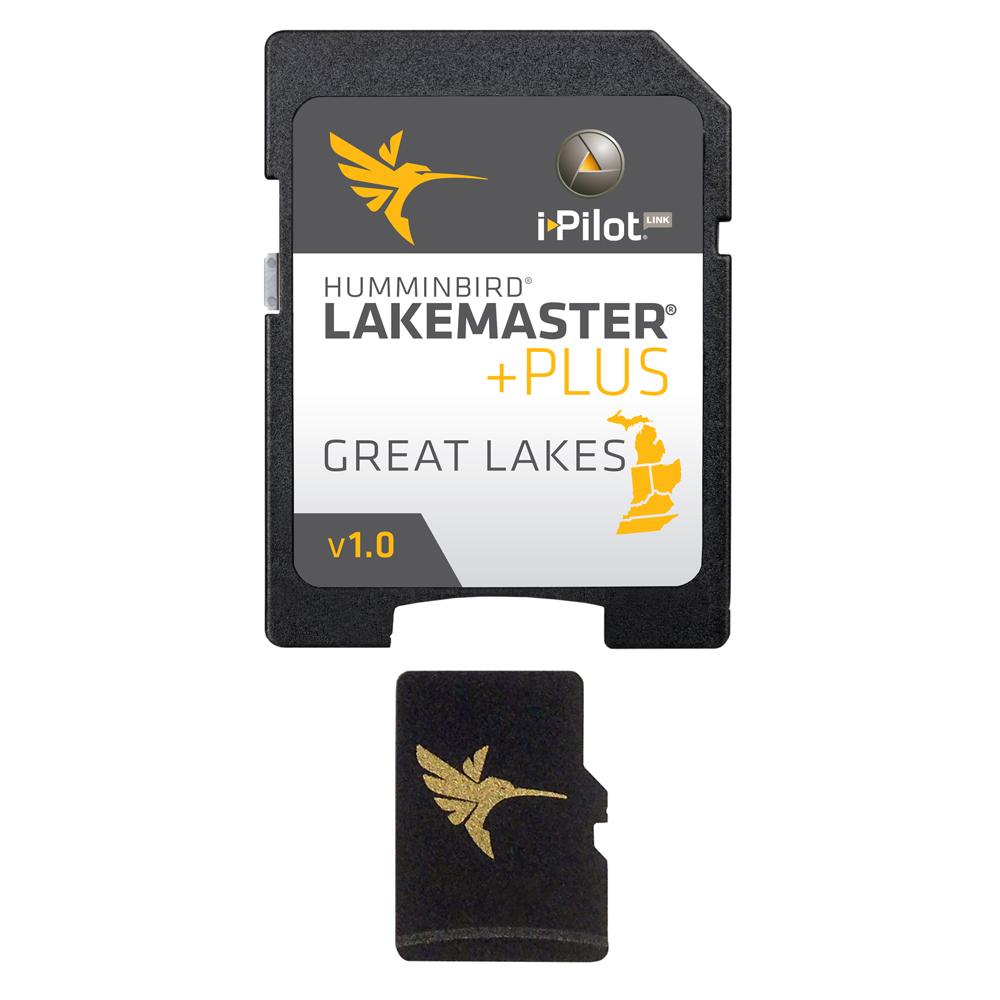
LakeMaster PLUS – Great Lakes
The LakeMaster Advantage
The unmatched accuracy and detail of Humminbird LakeMaster give you a serious edge. Patented features include the ability to select and highlight a specific depth range, the option to shade shallow water ranging from zero to 30 feet, and the power to synchronize depth chart contours and shorelines with the current water levels of lakes, reservoirs and rivers. With these exclusive features and more, you’ll have everything you need to make your time on the water more productive.
Coverage and Compatibility
The Great Lakes PLUS, Version 1.0 map card has many standard and high definition lake maps for Michigan, Indiana, Ohio, Kentucky, and Tennessee. The PLUS series allows for aerial image overlay on high definition* waters in addition to all of the LakeMaster features.
*Does not include aerial imagery for Lake Michigan, Lake Hurron, Lake Superior, Lake Erie, or Lake Ontario.
Product : HUMMINBIRD LAKEMASTER PLUS CHART GREAT LAKES
Manufacturer : HUMMINBIRD
Manufacturer Part No : 600015-4
UPC : 082324048289


