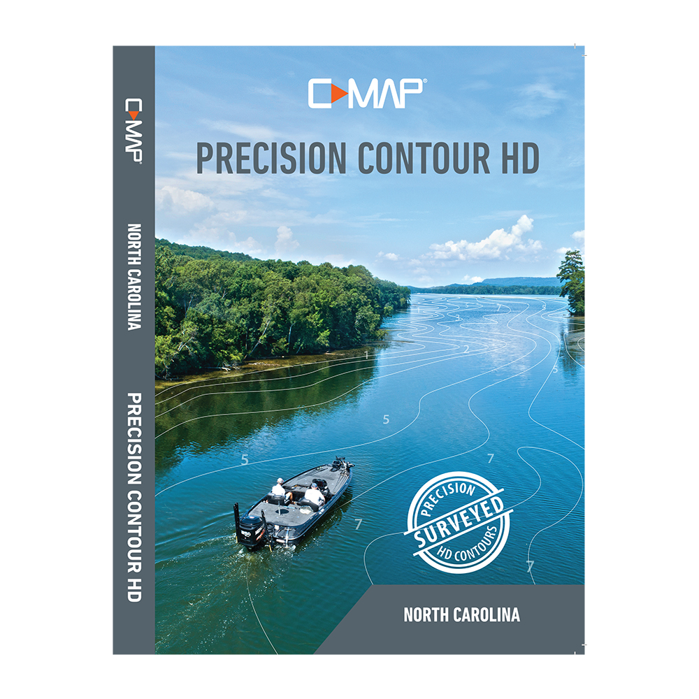
Description
C-MAP Precision Contour HD Chart – North Carolina
Precision Contour HD maps combine the best data from professional lake surveys, C-MAP Genesis Social Maps and traditional lake maps to deliver high-detail, statewide fishing maps with 1-foot contours.
The perfect mapping solution for serious anglers, Precision Contour HD maps offer comprehensive coverage — including shallow backwaters and distant creek arms — that other map cards overlook. The top fishing destinations were meticulously surveyed using innovative CMAP Genesis technology to create the most complete maps of key fish-holding bottom structure like humps, holes, reefs, shoals, drains, ditches, ledges and break lines.
Features:
- Survey-quality contour data – 1-foot contour coverage, visible even at wide zoom levels
- Custom depth shading – choose colors for specific depth ranges to highlight fishholding depths and/or hazard zones
- Points of Interest – includes traditional navigation information, C-MAP Navigation data, plus Fishing HotSpots waypoints and lakes-specific fishing tips and techniques
- High-resolution satellite imagery – used to locate man-made fish-holding structure like boat docks. Available views include water and land, water only and land only
- Preset depth shading palettes, including safety shading
- Includes fishing regulations, records and ID photos
- Free 1-year subscription to C-MAP Genesis Edge custom mapping service
Precision Contour HD charts are compatible with Lowrance HDS LIVE, HDS Carbon, HDS Gen3, Elite Ti2 Elite Ti and HOOK2* fishfinder/chartplotters
*Does not support satellite imagery or custom depth shading
Manufacturer : Lowrance
Manufacturer Part No : M-NA-Y704-MS
UPC : 9420064111800